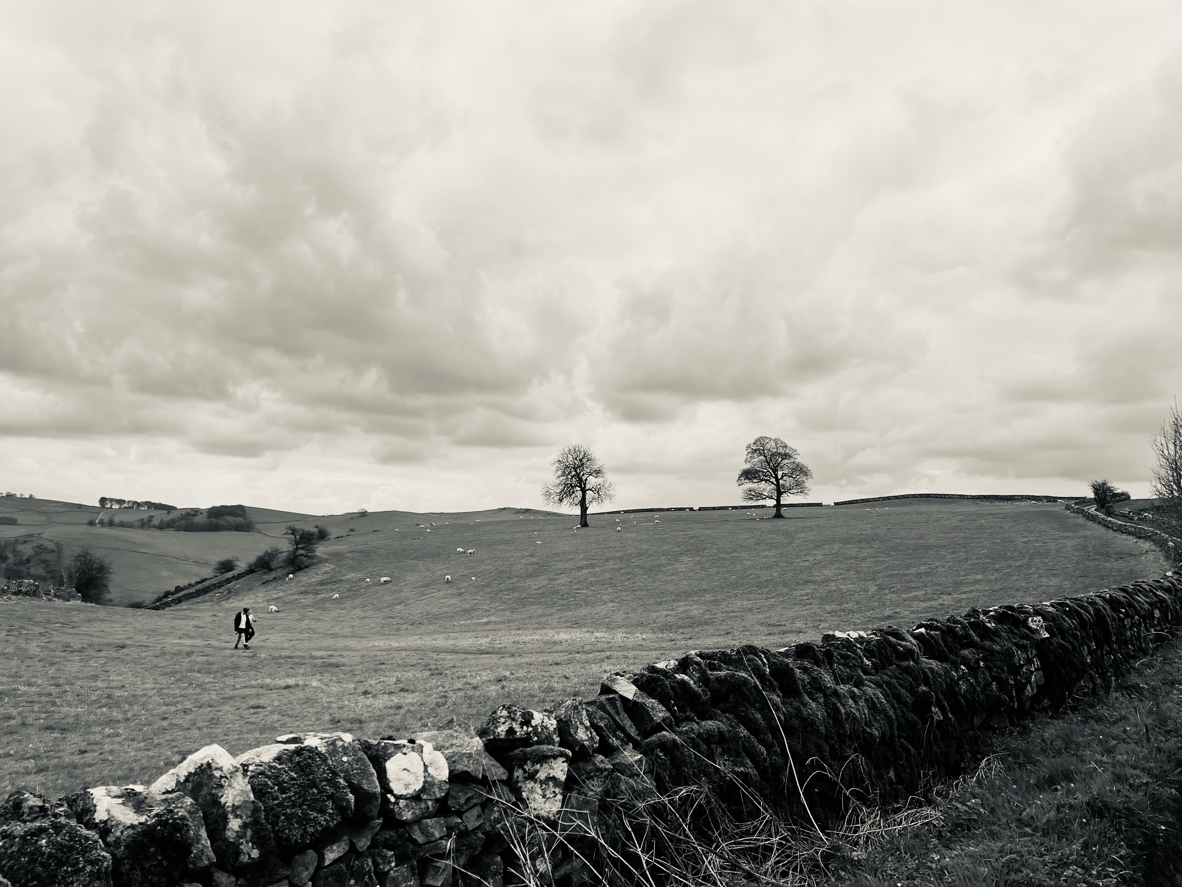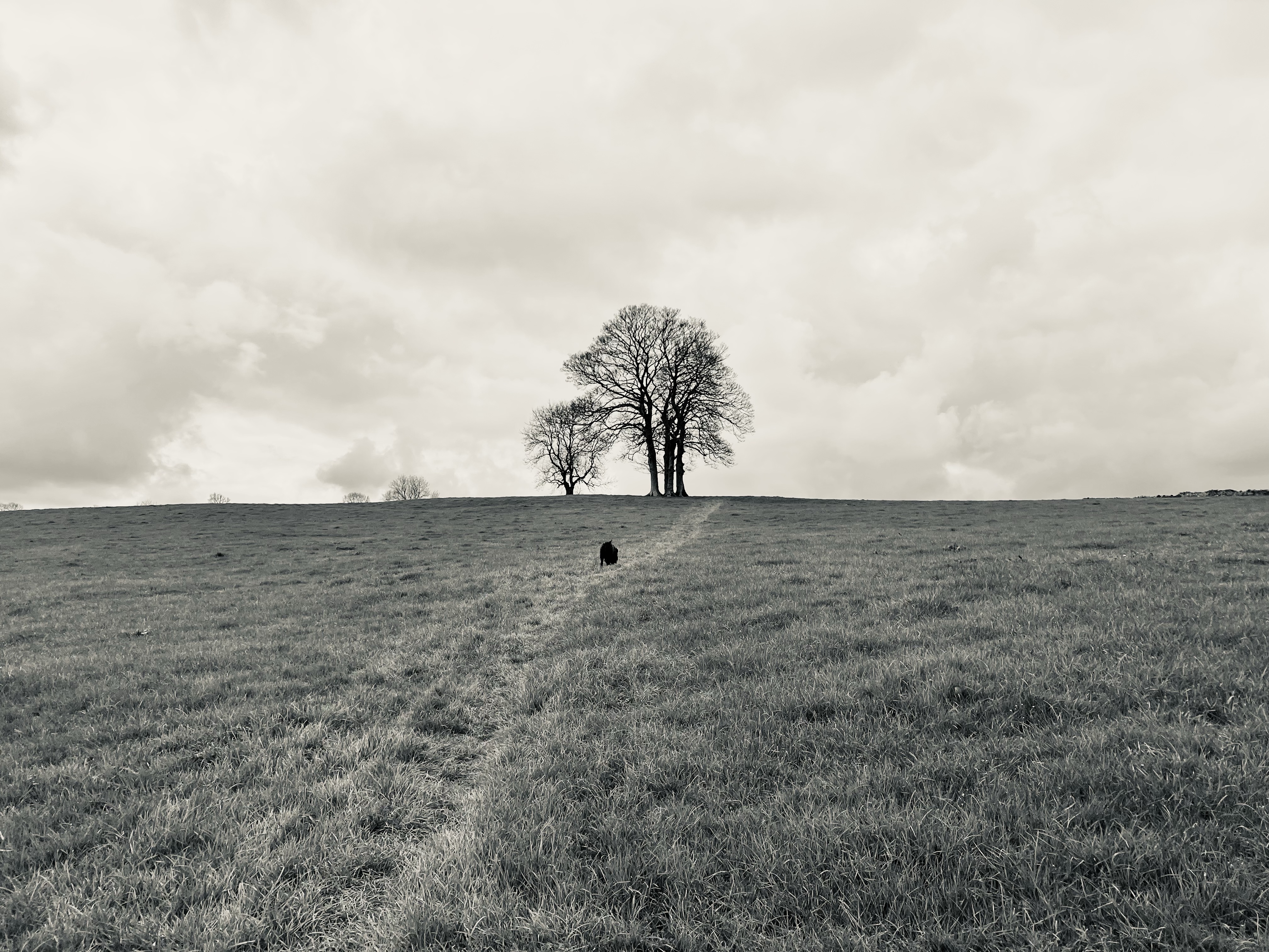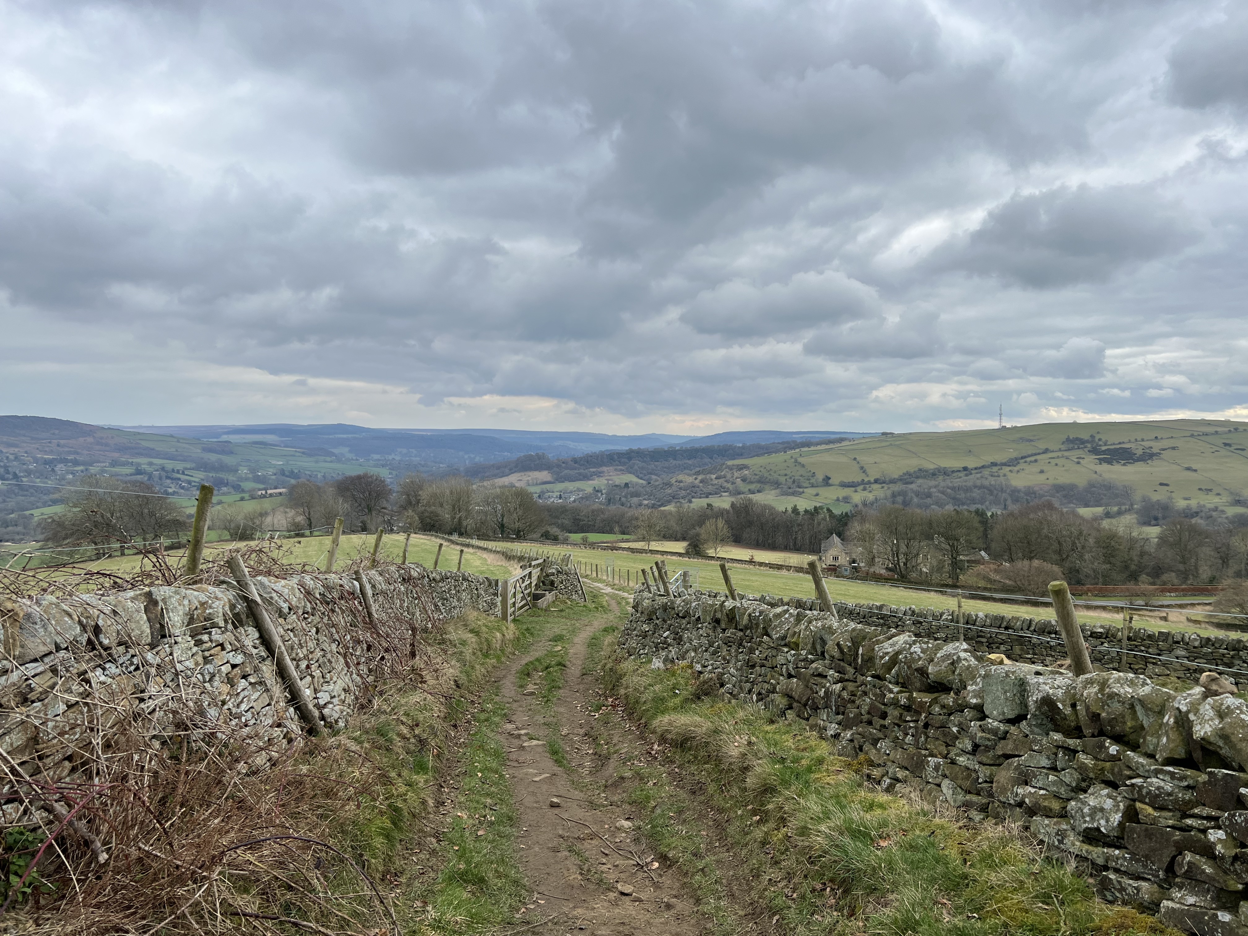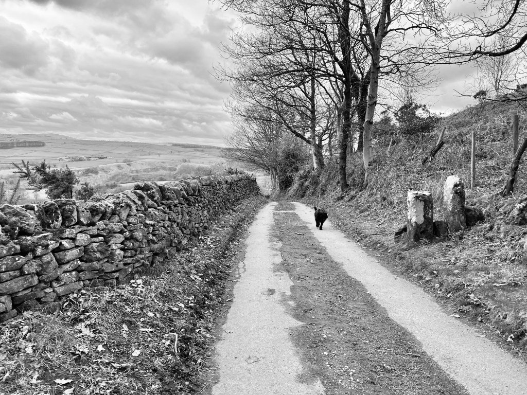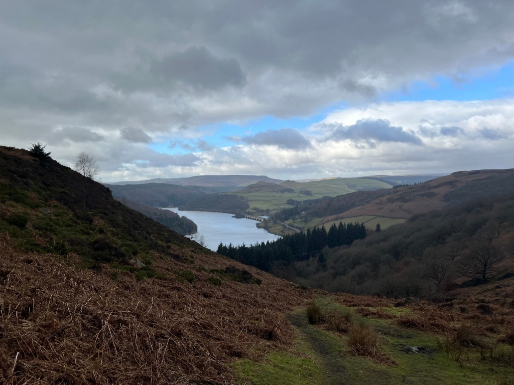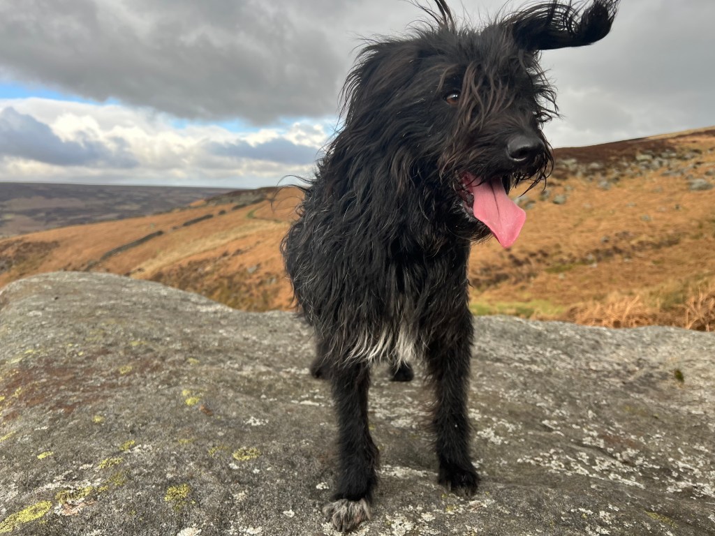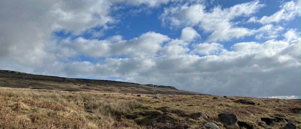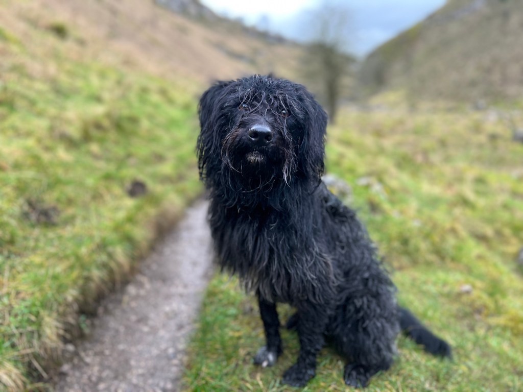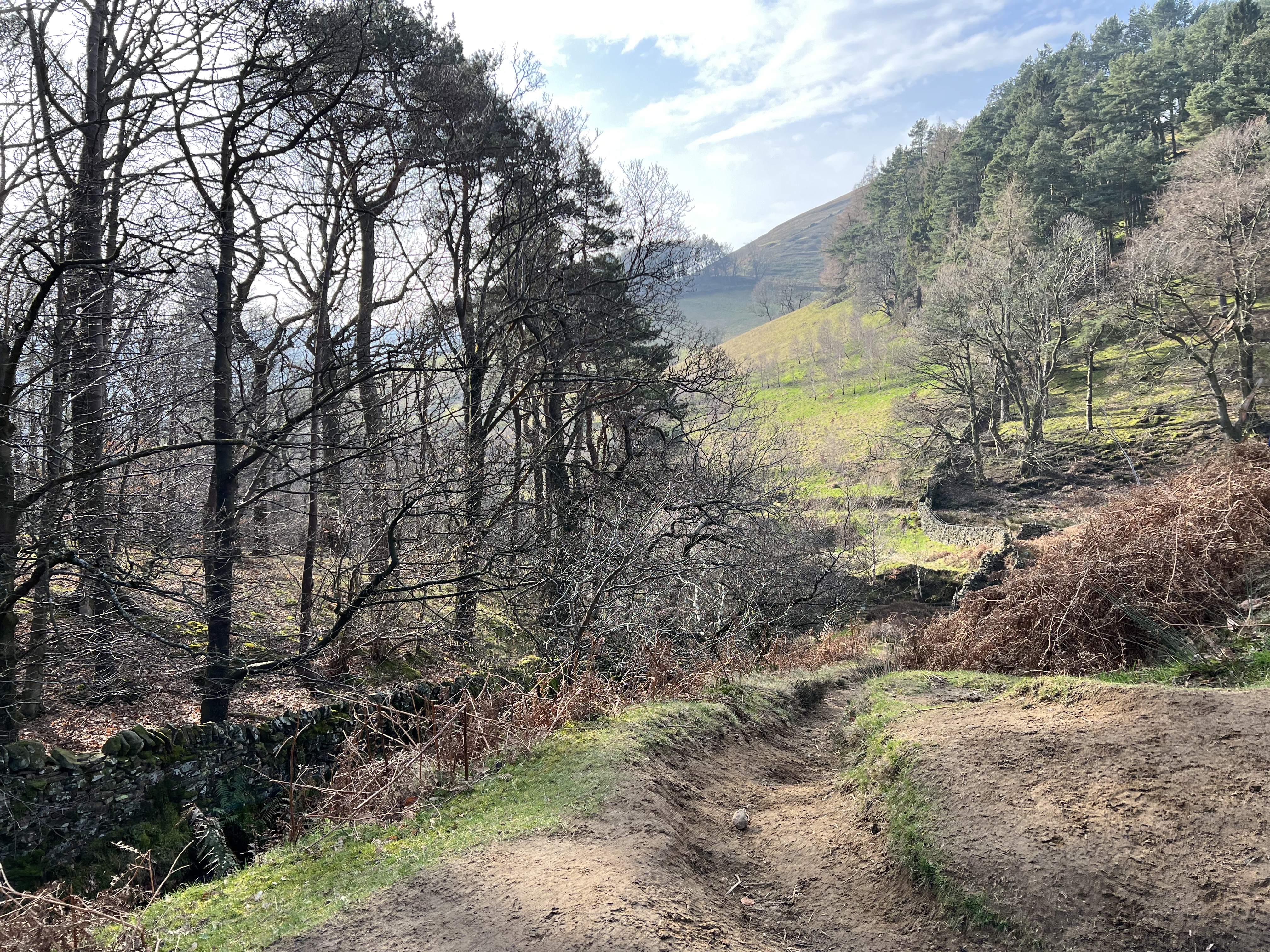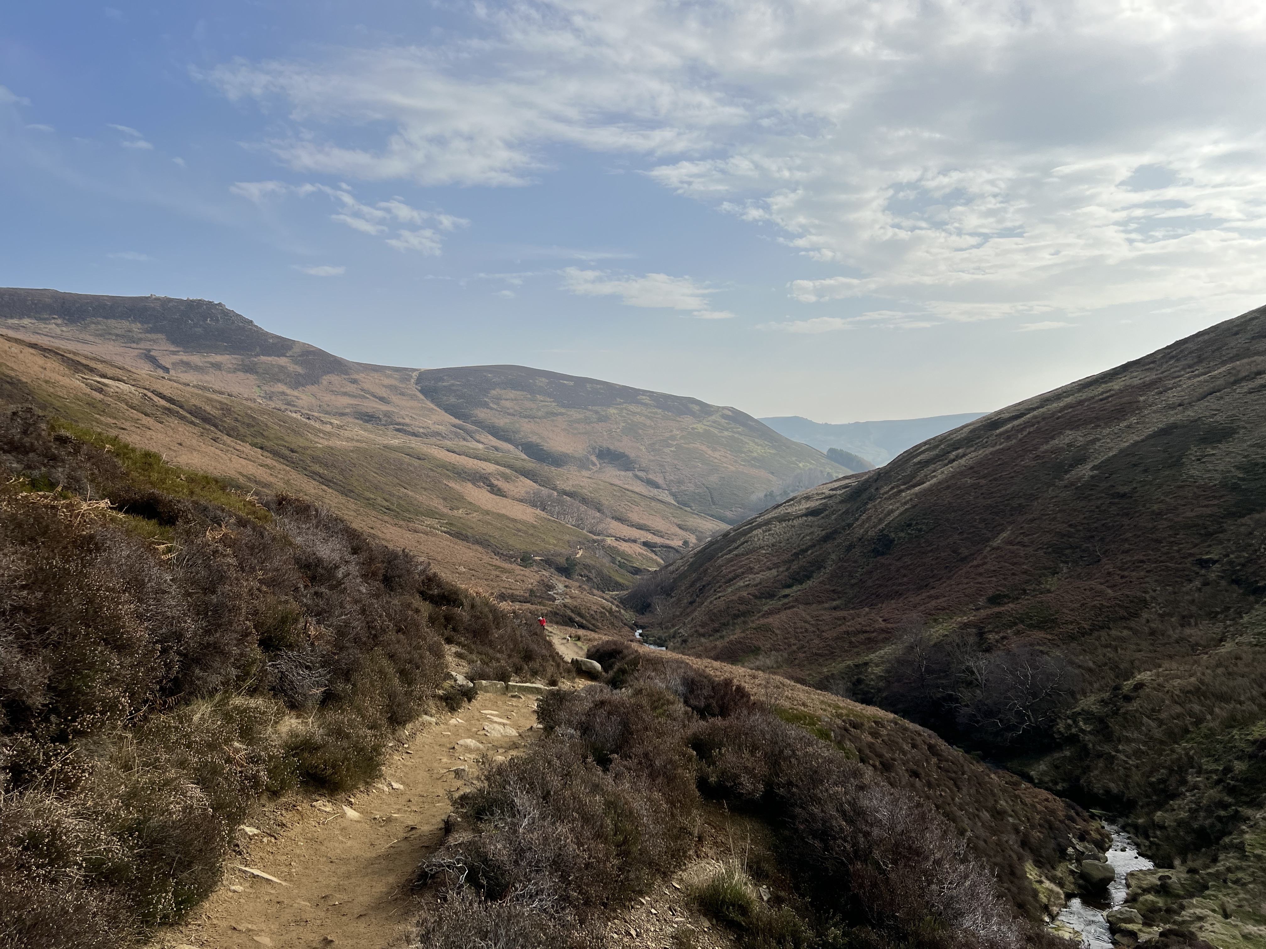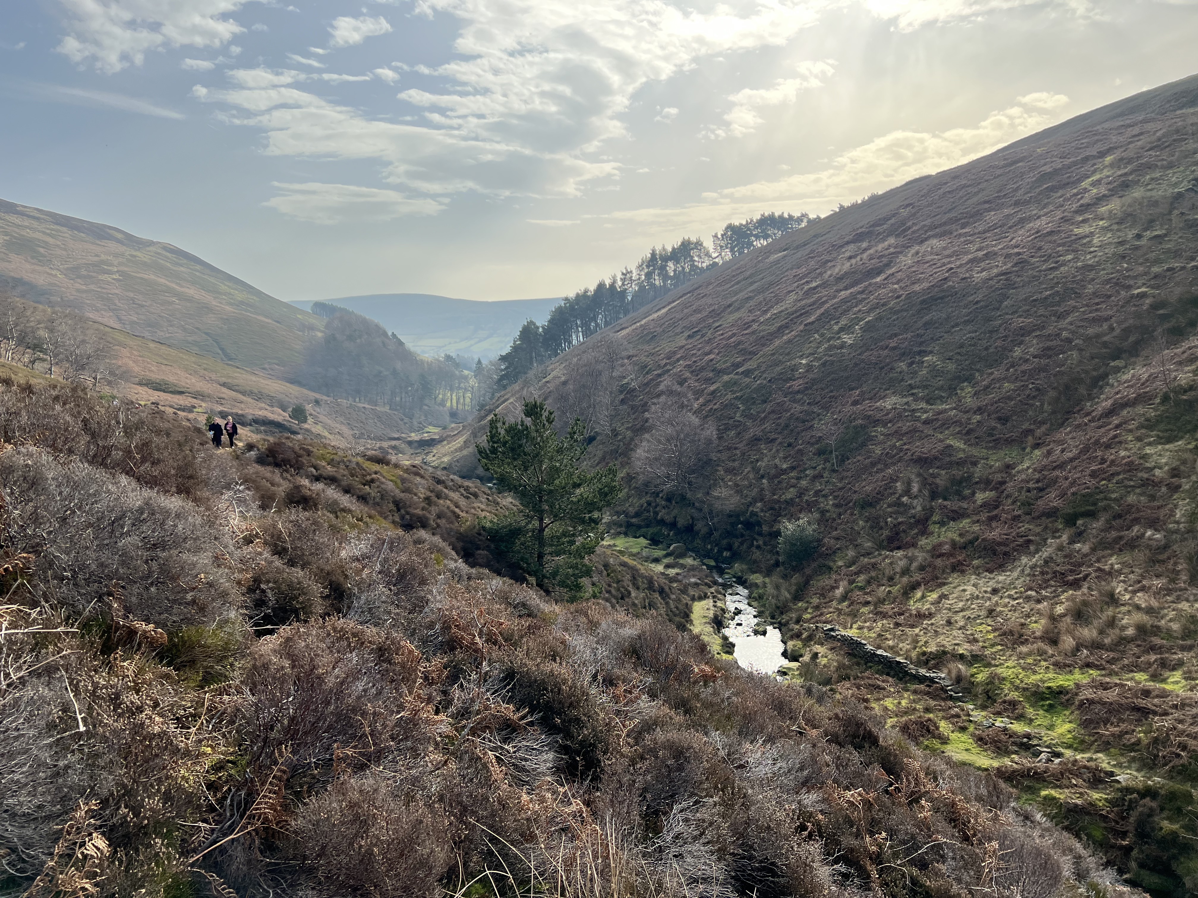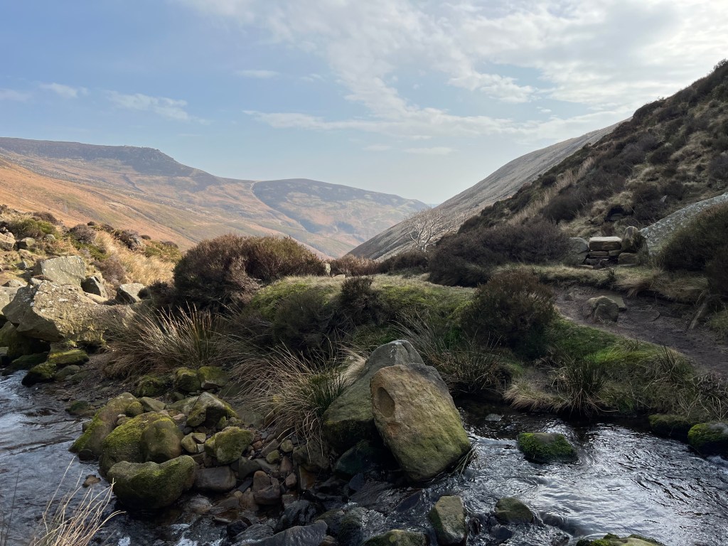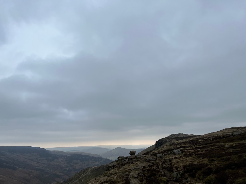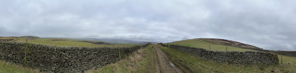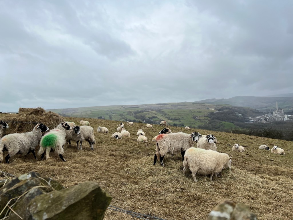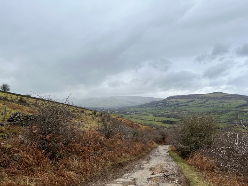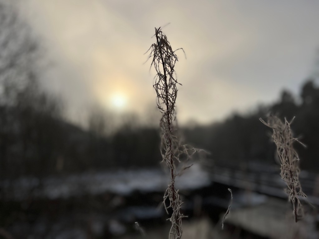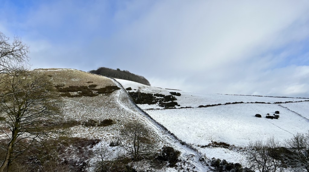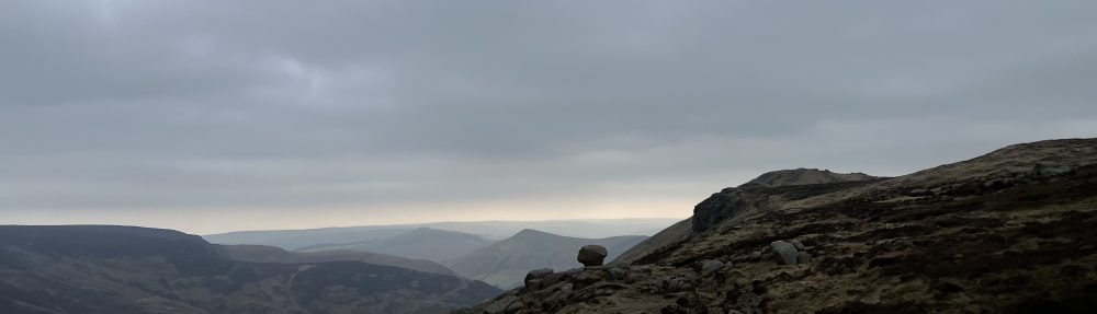
Up on the aptly named Big Moor earlier doing a loop around Peak Edges; White, Curbar and Froggat. As always, breathtaking scenery, vast sky and the freedom of the ban on dogs off leads lifted as we head into Autumn. I mean every which way you look, dazzling views.
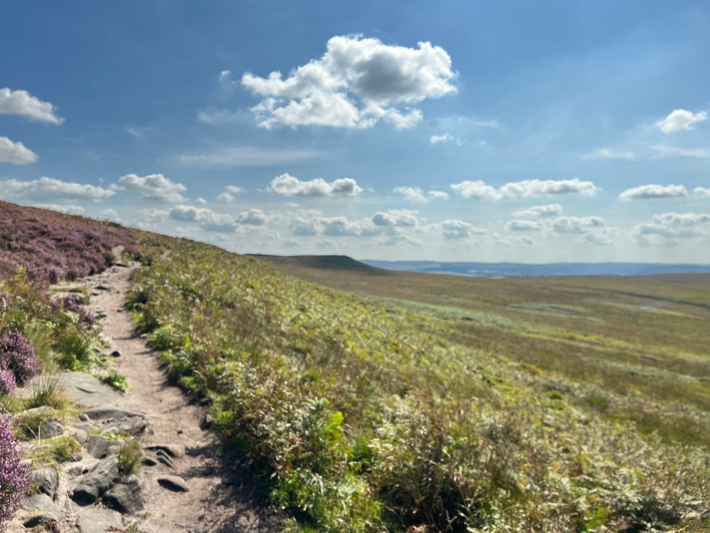

We approached the trig point on White Edge.
“Wow, there’s the guy that paints trigs! I read about him on Facebook yesterday.”
And there he was. Paint tin, masking tape, paint tray, roller and an almost brilliantly white trig.
The story? He began painting trigs during lockdown. After being stopped by police picking up litter about 1am in his home town and questioned about what he was doing (ridding the streets of empty beer cans), he decided to go up to nearby Bleaklow and start tidying up there. The dullish grey trig caught his attention because it had been white when he was a boy. He decided to paint it.
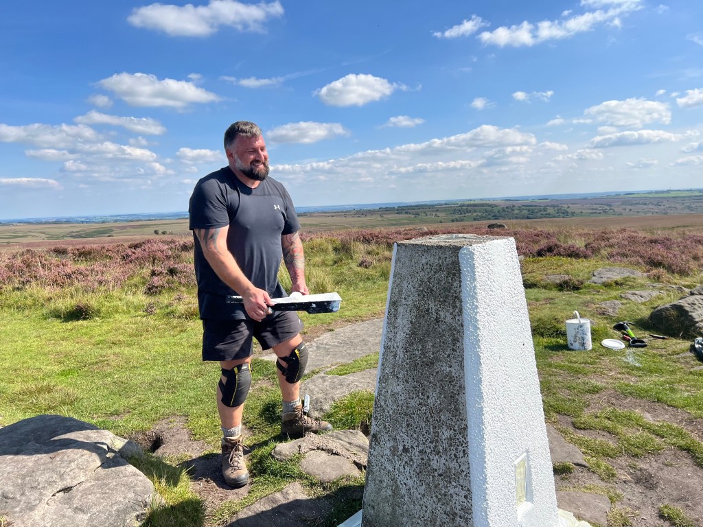

Someone came along and said there was another one that needed doing a couple of miles away. He thought he’d better find out who owns them before he painted any more. He contacted the Ordnance Survey bods who said if you want to paint them, crack on.
A serious illness and bereavement set him back several months, now he’s back on the job at weekends, lugging all the equipment despite ongoing pain. Chatting and joking with walkers alongside doing a careful paint job.
‘What’s your favourite trig?’
‘Kinder,’ he said without missing a beat. ‘Although if you’re local, it’s this one.’
Peak legend.
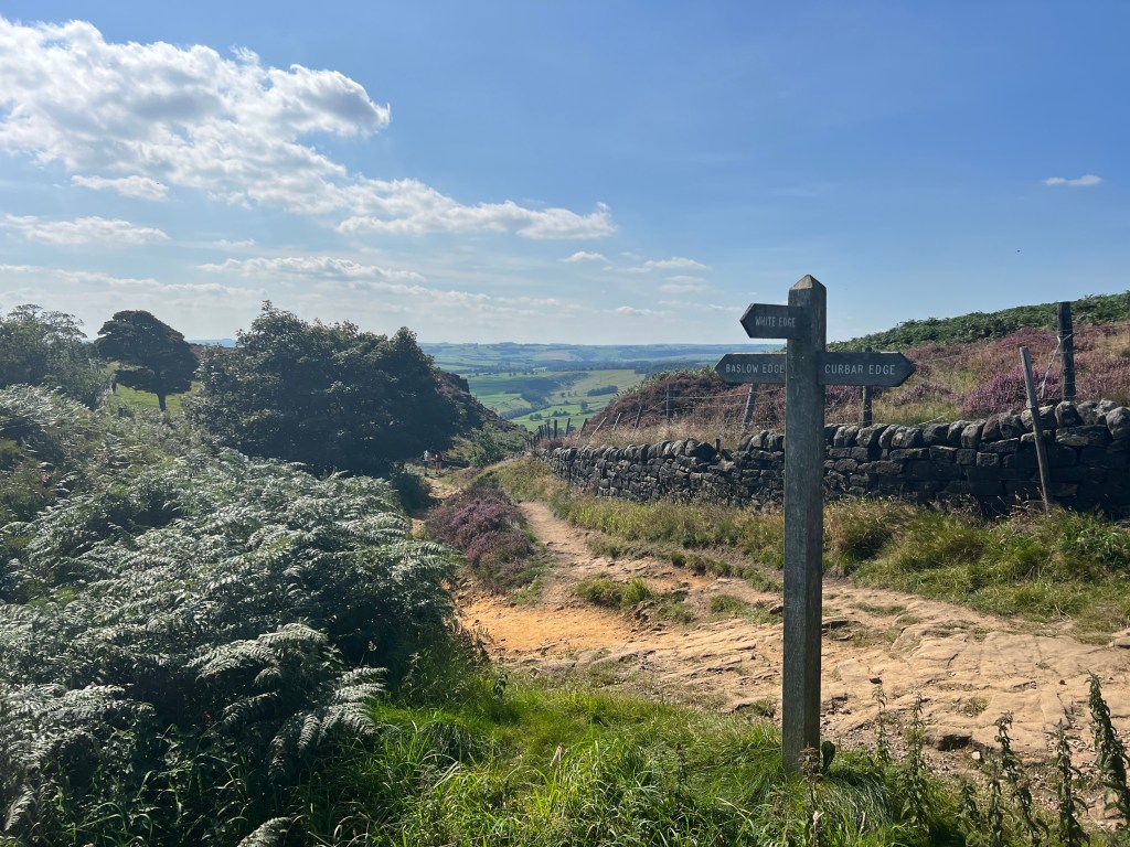
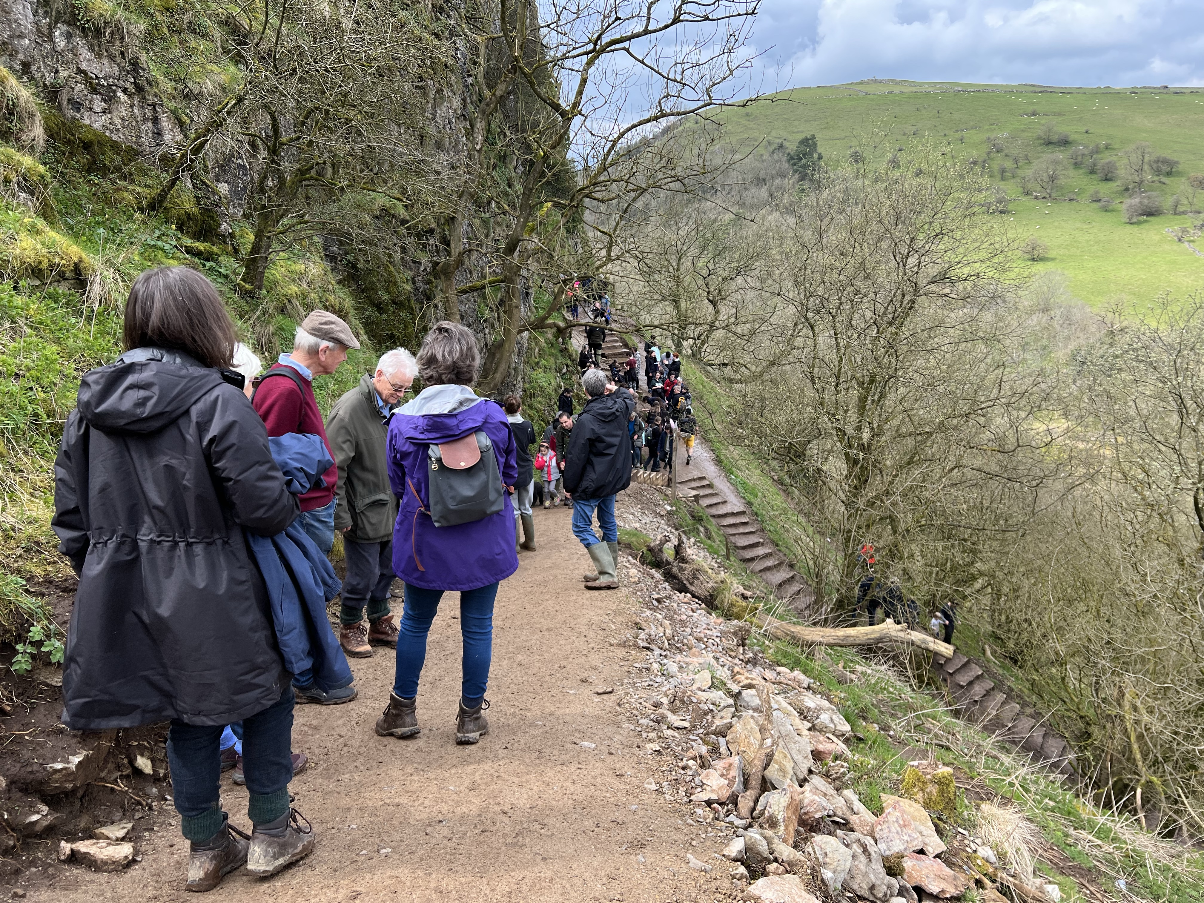
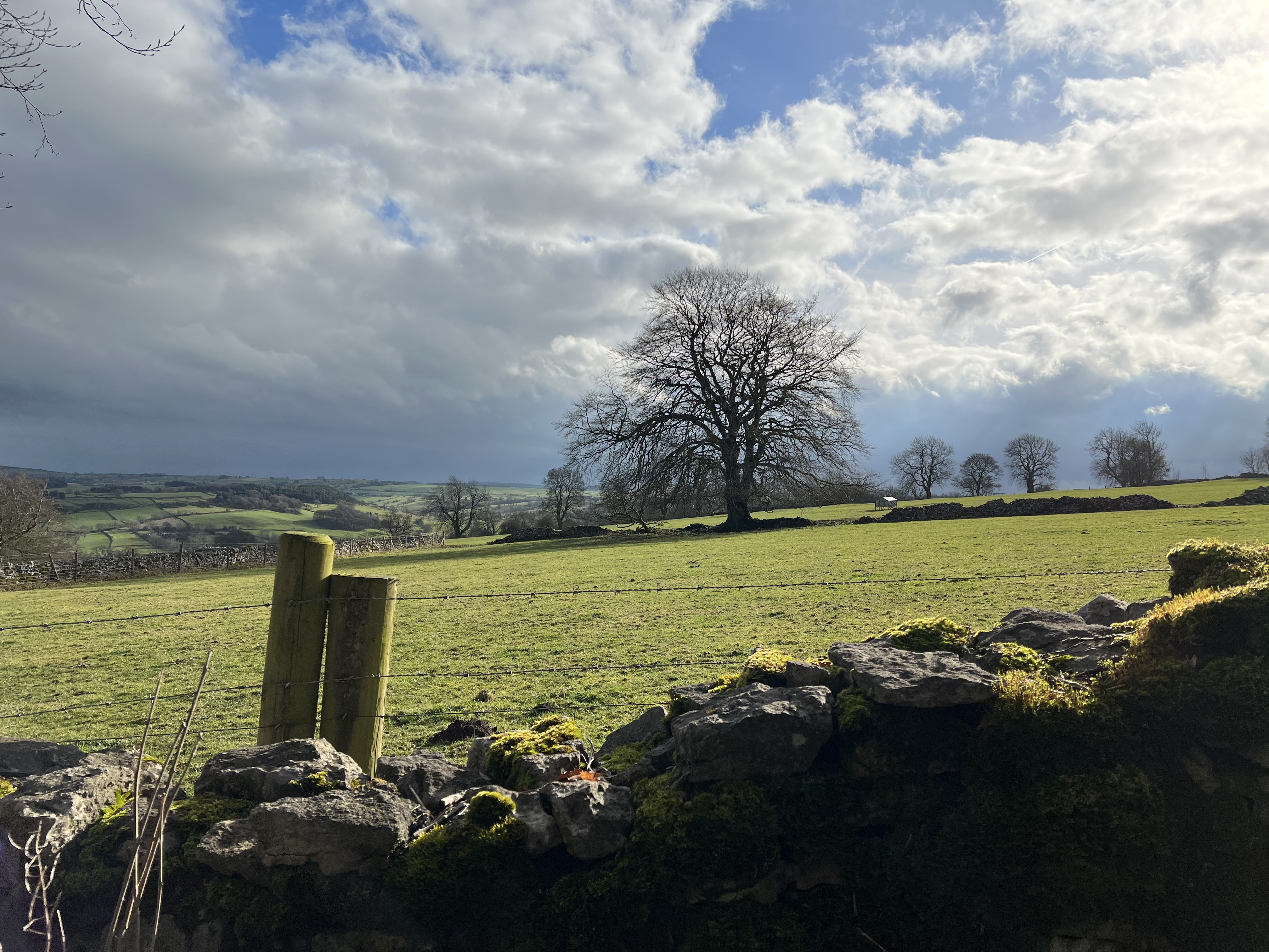
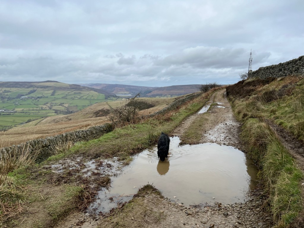
Practicalities: 6 mile loop, good dog walking on first half (before the drop becomes sheer at Curbar, terrifyingly so), not too much of a climb (park in Haywood National Trust car park or the car park at Curbar Edge which has a handy coffee and ice-cream van). Grouse Inn pub grub well worth a swerve, the Curbar section of the walk is popular at weekends.